
NASA and IBM’s Prithvi AI becomes the world’s first geospatial foundation model deployed in orbit, transforming Earth observation, satellite AI, and climate monitoring.
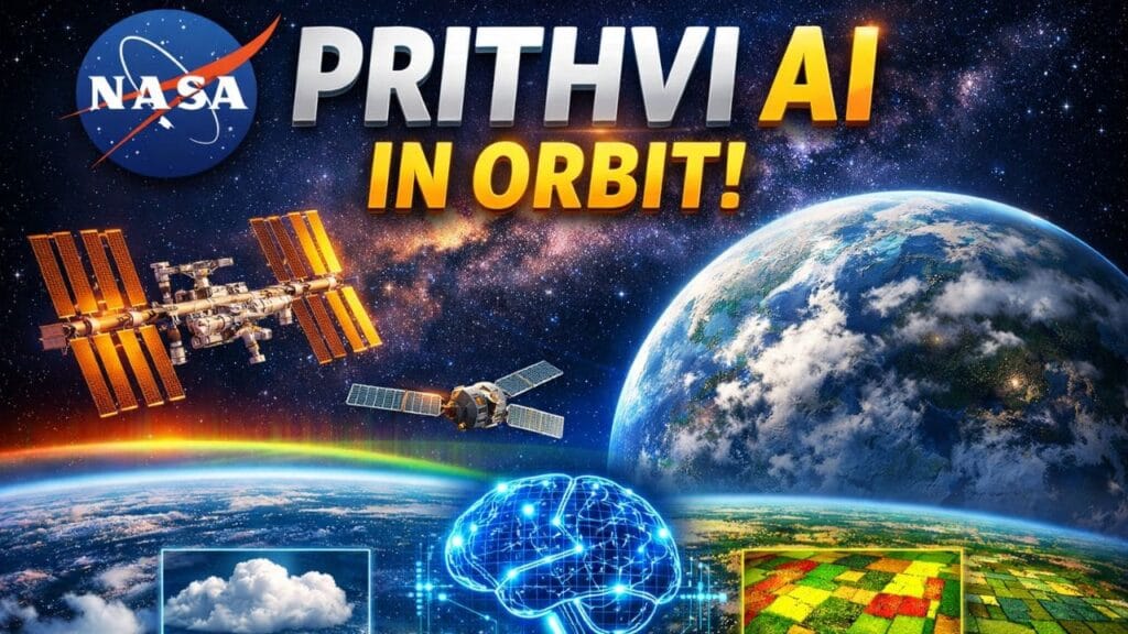
NASA and IBM have reached a major milestone in space technology after their open-source Prithvi Geospatial AI model successfully operated in orbit. The achievement makes Prithvi the first geospatial foundation model ever tested and deployed aboard active space platforms.
The breakthrough was led by researchers from the University of Adelaide and the SmartSat Cooperative Research Center in Australia. The team uploaded a compressed version of the AI model to two separate orbital systems — the Kanyini satellite and the IMAGIN-e payload attached to the International Space Station (ISS).
What Is the Prithvi Geospatial AI Model?
Prithvi is an advanced AI foundation model jointly created by NASA and IBM for analyzing Earth observation data. Unlike traditional satellite software designed for one specific task, foundation models can adapt to multiple applications after being trained on massive datasets.
Table of Contents
The model was trained using more than a decade of satellite imagery collected from NASA Landsat missions and the European Space Agency’s Sentinel-2 satellites.
Because of this large-scale training, Prithvi can support several environmental and scientific tasks, including:
- Flood monitoring
- Cloud identification
- Disaster tracking
- Crop analysis
- Environmental mapping
- Climate-related research
Researchers selected Prithvi mainly because of its strong performance and open-source availability, which allowed the team to integrate the model without building a completely new AI system from scratch.
Why Sending AI Into Orbit Matters
Modern Earth-observing satellites collect huge amounts of data every day. Normally, most of that information must be transmitted back to Earth before processing begins, which can slow down analysis and increase bandwidth usage.
Running AI models directly in orbit changes that process dramatically.
Instead of sending every raw image back to Earth, satellites equipped with onboard AI can analyze information in space and transmit only the most important findings. This can improve response times during natural disasters, severe weather events, or environmental emergencies.
During the mission, the research team tested Prithvi’s ability to perform flood and cloud detection tasks across two different orbital computing environments. The model successfully handled both operations while functioning in space.
Open-Source AI Accelerates Innovation
NASA officials say the success of Prithvi demonstrates the growing importance of open-source artificial intelligence in scientific research.
Because the model is publicly available, researchers worldwide can adapt and improve the technology for new missions and applications without creating large AI systems independently.
Another advantage of foundation models is flexibility. Instead of uploading an entirely new AI program to a satellite, scientists can install smaller updates or decoder packages that allow the model to learn additional tasks while already in orbit.
This approach reduces bandwidth demands and makes satellite systems more efficient.
Future Satellites Could Communicate Like AI Assistants
Researchers believe foundation models may eventually make satellite communication more interactive.
In the future, operators could potentially ask satellites questions using natural language and receive AI-generated responses about onboard systems, collected imagery, or environmental conditions.
NASA is already expanding its work on AI-driven science models. Following Prithvi, the agency introduced another open-source foundation model called Surya for heliophysics research. Additional AI systems focused on planetary science, astrophysics, and biological research are also expected in the coming years.
The Prithvi Geospatial AI project is supported by NASA’s Science Mission Directorate and its Office of the Chief Science Data Officer.
Learn more about NASA’s AI research initiatives here:
NASA Artificial Intelligence Science
🔔 Connect With Us
Stay updated with the latest Update,
👉 Join us on WhatsApp – Link
👉 Join our Telegram Channel – Link
👉 Follow us on X (Twitter) – Link
👉 Follow us on Instagram – Link
👉 Like our Facebook Page – Link
👉 Follow us on Threads – Link
Or email us at support@easylearnguide.com to get your copy.
📩 Contact & Business Inquiries
Have questions, collaborations, or business opportunities?
Feel free to reach out: contact@easylearnguide.com
Frequently Asked Questions (FAQs)
1.What is NASA’s Prithvi AI model?
NASA Prithvi AI is an open-source geospatial foundation model developed by NASA and IBM. It helps analyze satellite imagery for flood detection, climate monitoring, disaster tracking, and Earth observation tasks.
2.Why is NASA’s Prithvi AI important?
Prithvi became the world’s first geospatial foundation model deployed in orbit. The achievement could transform how satellites process Earth data directly in space using artificial intelligence.
3.What is NASA Artemis II mission?
NASA Artemis II is NASA’s upcoming crewed Moon mission that will send astronauts around the Moon as part of NASA’s long-term lunar exploration program.
4.What is NASA Picture of the Day?
NASA NASA’s Astronomy Picture of the Day (APOD) shares a new image of space daily along with scientific explanations about galaxies, planets, stars, and cosmic events.
5.How can AI improve satellite technology?
AI can help satellites analyze data faster, reduce bandwidth usage, detect disasters earlier, and improve climate monitoring by processing information directly in orbit.
You May Also Like –
Meta Platforms to Monitor Employee Screens & Keystrokes for AI Training: Privacy Concerns Explained
How Sundar Pichai Turned Google into an AI Leader: Strategy Behind Winning the AI Race
AWS Launches Amazon Quick AI Desktop Assistant for Seamless Cross-App Productivity
AI Job Crisis 2026: Meta Cuts 20,000 Jobs as Microsoft Warns of Massive Workforce Shift
How to Use Google Chrome’s New AI-Powered Skills (Step-by-Step Guide)